Using new data assimilation methods, we can better utilize the valuable information available about forests. In 2024, Nordic research in this field was strengthened when UNITE joined the collaboration between Mistra Digital Forest and its Norwegian counterpart, SmartForest. Now, the countries will work together to enhance research in the EU.
The forestry sector is flooded with remote sensing data, but much of it goes unused. Through data assimilation, multiple data sources can be integrated to support decision-making in forest planning. Mistra Digital Forest and SmartForest have been collaborating for years to develop systems that integrate different types of remote sensing data. In 2024, Finland’s UNITE program also joined the Nordic collaboration.
“Instead of relying on decision support systems based on data from a single source or point in time, data assimilation enables us to integrate data from multiple sources and times. This results in better estimates of the current situation and more accurate future forecasts,” says Göran Ståhl, Professor of Forest Inventory at SLU.
UNITE: “Looking forward to deeper cooperation”
For example, data assimilation allows decision support based on laser data from the national laser scanning program, which occurs at intervals of several years, to be complemented by optical satellite imagery, which arrives annually in large quantities.
“We need more accurate and timely forest information to make informed decisions. Data assimilation can be the solution, and through our joint efforts, we are driving development. I look forward to deepening our cooperation and continuously sharing experiences and know-how,” says Annika Kangas, Professor at the Natural Resources Institute Finland.
Terje Gobakken, a representative from SmartForest and Professor of Forest Remote Sensing and Planning at the Norwegian University of Life Sciences, also sees the benefits of the collaboration:
“Our three countries have very similar forest conditions, which provides a solid foundation for collaboration, where we especially benefit from sharing research expertise and data. This is a vast and advanced field that requires resources.”
Increasing knowledge in the EU
Remote sensing models need to be adapted to avoid providing misleading information. This is a challenge that the collaboration is addressing, spreading awareness among researchers and decision-makers in the EU. Nearly all forest condition assessments based on remote sensing data contain systematic errors, such as overestimating biomass in younger forests and underestimating it in older forests.
“The Nordic countries have come a long way in this field, and working together strengthens our resources and increases our visibility. By sharing knowledge on how to correct for systematic errors, we can make better use of remote sensing data in the forest sector,” says Göran Ståhl.
Read the original article on the Mistra Digital Forest website (in Swedish) https://highlights.mistradigitalforest.se/2024/forskningsresultat/norden-starker-samarbetet-inom-dataassimilering/
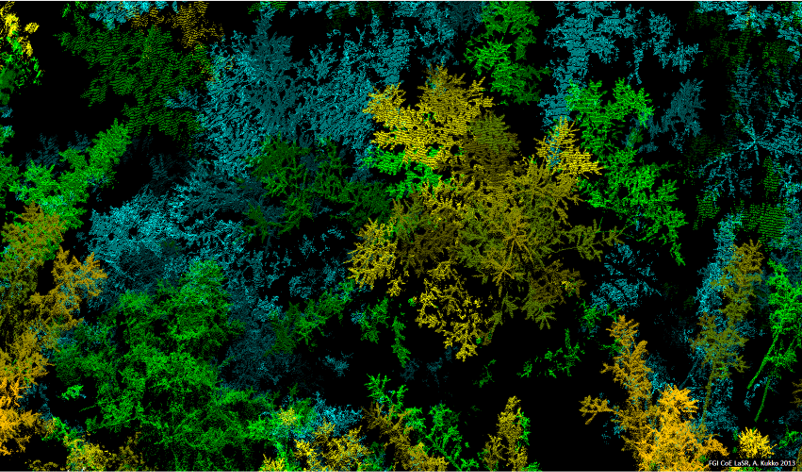
Photo: Antero Kukko, Finnish Geospatial Research Institute at the National Land Survey of Finland