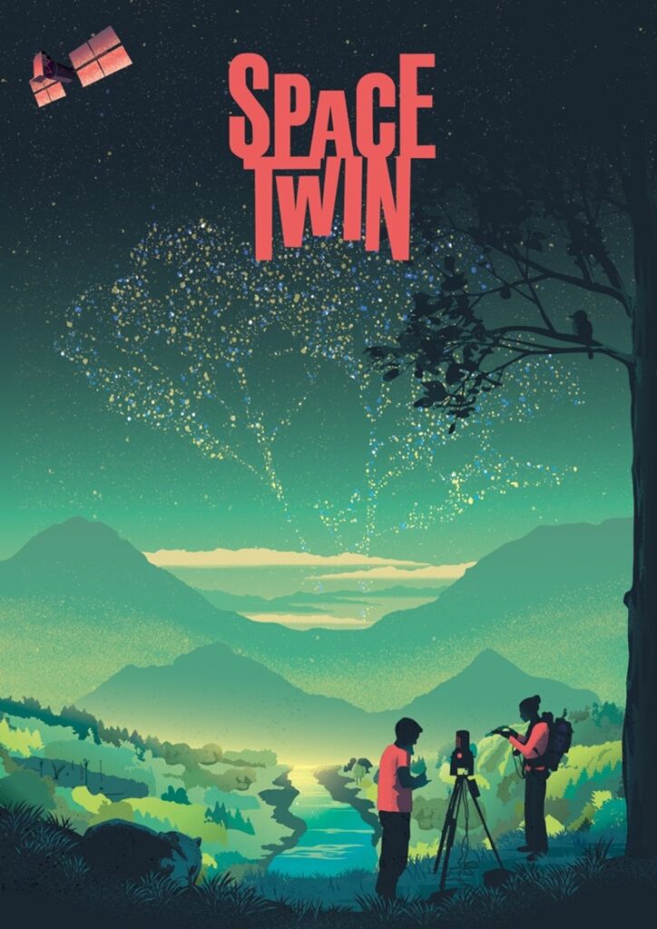
Earlier in November, I presented on “digital twins for understanding forest disturbances and recovery from space” at the Forest & Photonics conference in Joensuu. This keynote presentation was within the context of my recently started ERC starting grant, SPACETWIN, at Ghent University.
Forests worldwide are undergoing large-scale and unprecedented changes in terms of structure and species composition due to anthropogenic disturbances, climate change and other global change drivers. Climate, disturbances and forest structure are all closely linked: changes in climate can directly lead to physical changes in forest structure and vice versa or to an anticipated increase in forest disturbances. However, it is still uncertain how forest structure is impacted by disturbances (locally) and how we can detect and monitor various levels of disturbance regimes using spaceborne satellite data (globally).
With SPACETWIN, we will focus on the impact of drought, fire, and logging disturbances across a range of tropical and temperate forest ecosystems. It will considerably change our ability to observe, quantify and understand forest disturbances and recovery by using time series of the most detailed structural and radiometric 3D forest models ever built: ‘digital twin’ forests. To achieve this, we still need to overcome some hurdles – both on the algorithm development and the more conceptual side.

We currently plan to use a 4D dataset (time being the fourth dimension) across 57 disturbed sites using terrestrial laser scanning (~11,500 individual trees). These sites are in Australia, Gabon, Brazil, Peru, USA, UK, Indonesia & Guyana. Through collaboration with UNITE and UEF researcher Dr. Ninni Saarinen, we will be able to complement our dataset with Finnish sites that can give us more insights into fire disturbances in boreal forests. These data will be used to develop the next-generation methods to enable big data science of forest point clouds – more specifically, the segmentation of forest point clouds into individual tree point clouds. These individual tree point clouds will then be further modelled and used as building blocks to digital twins for optical and microwave radiative transfer modelling. Radiative transfer models allow us to simulate any illumination-sensor (e.g. Sentinel-2) configuration in a controlled environment.
By using the digital twins, we will have both real-world satellite data and simulated data for the same forest across the process of disturbance and recovery. This will ultimately allow us to embed of forest structure in the global observation process to understand the uncertainties in monitoring disturbances.
Building digital twins from 3D laser scanning data will open a realm of untapped research questions and applications that call for the most detailed 3D information on canopy structure possible. These insights are also urgently needed to reduce uncertainties and advance the forecasting of carbon stocks and dynamics within the context of the IPCC.
Text and picture: Prof Kim Calders, (kim.calders(at)ugent.be) Gent University
